About our Census Maps
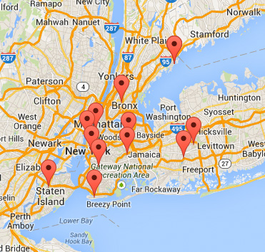
By clicking a pin in the map, an abbreviated information box for the carousel will be displayed that shows the type of carousel, location, city and state. Click the text inside the information box to open a new window with the full census data entry for the carousel. Here you will also find a link to the carousel's website (when available) to obtain additional information. And if we have a photo show for the carousel, a link will be provided to take you directly to the photo show! The census map includes operating carousels in the U.S. and Canada. The map includes classic wood, classic metal, and new wood carousels. There are a few other significant carousels not in these classes that are included on the census map. Please see the online NCA Census of Operating North American Carousels and the Index of North American Carousels to locate carousels not included on the census map. There are now four separate maps available:
Please send any corrections or updates to the NCA Census Chairman. Patrick Wentzel NCA Census Chairman
|
|||||||||||||||||||||||||